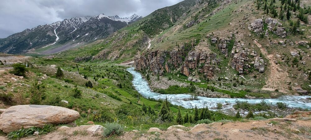
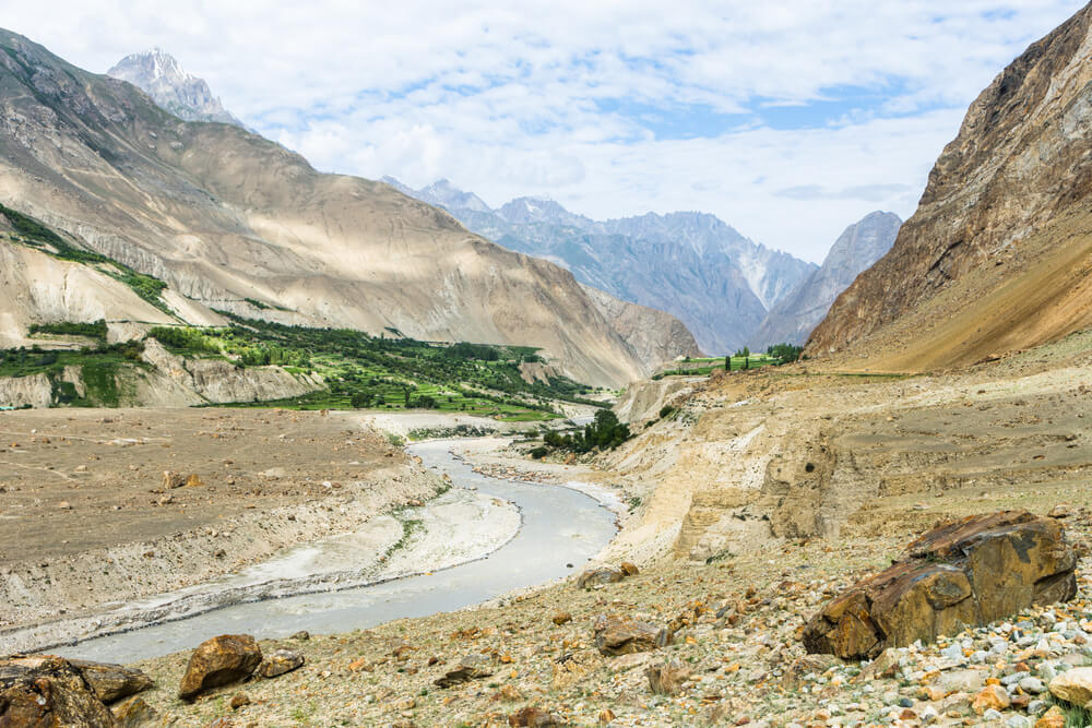
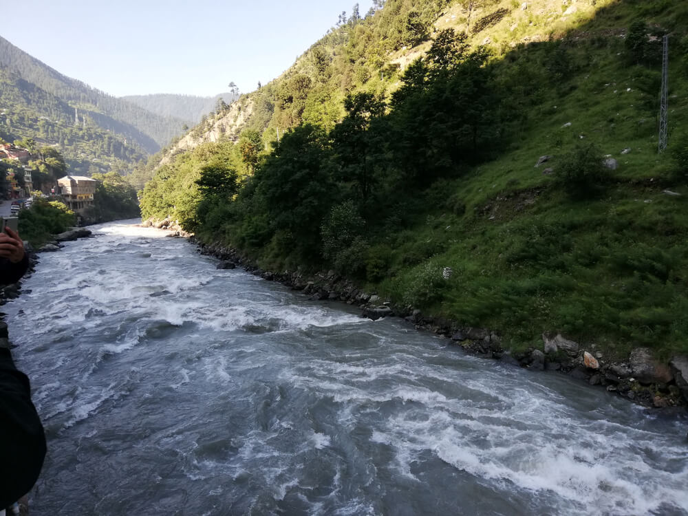
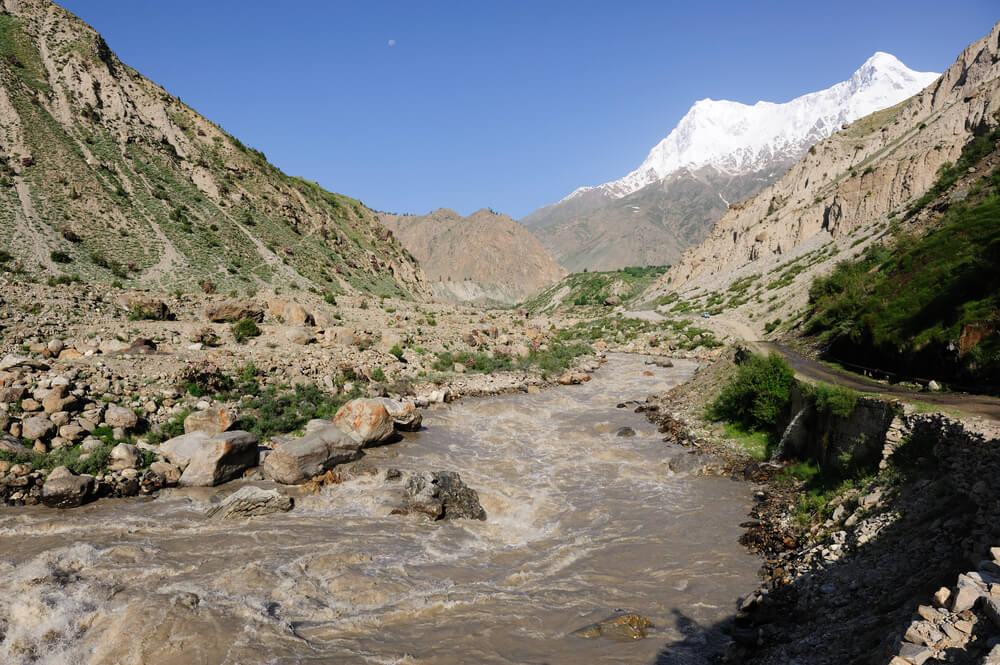
Rivers of Pakistan
A river is a natural flowing channel, often freshwater moving towards the sea, ocean, or another river. Rivers enhance the natural beauty that attracts tourists. It can provide peace, tourist refreshment, or leisure time. The Rivers play a vital role in Pakistan as these help the whole economy to stand. Pakistan is an agricultural country, and much of its income is from irrigation, which the rivers can primarily do. The significance of the Rivers cannot be denied while discussing Hydroelectric power generation; dams and barrages are constructed on the Rivers, producing electricity by using river water. River water is used for domestic cooking, washing clothes, and industrial purposes, like water used as a cooling agent. Rivers keep marine species alive, which helps the economy to stand, as fishing is the source of earnings for many people in Pakistan. Rivers increase soil fertility which also helps out a lot. Thus, the River is the blessing of Allah for Pakistan.
Biggest River of Pakistan
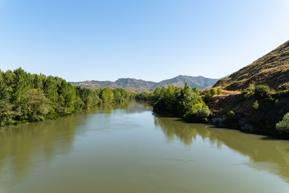
The Indus River is the biggest in Pakistan. This River Indus and its tributaries help irrigate Punjab and Sindh’s plain areas.
List of Rivers in Pakistan
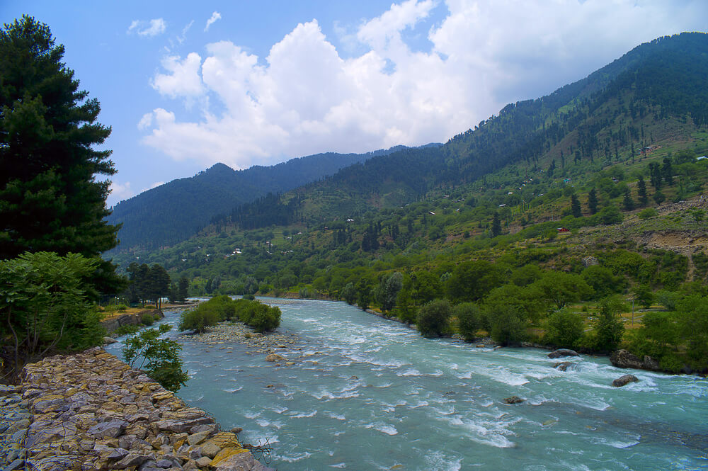
Below is a list of the rivers in Pakistan that enhance Pakistan’s natural beauty and can be the best source of pleasure and amusement for tourists.
Astore River
In Gilgit Baltistan, Astore river is located . Astore river is a sidestream of the Indus river, also depleting Deosai Plateau passing through Astore Valley. This River rises from the western slope of Burzil pass. It also joins the Gilgit river.
Bara River
This River flows in khyber agency and Khyber-Pakhtunkhwa. This Bara river arises in the Tirah valley of Bara Tehsil, Khyber agency. The Kabul river canal is joined with the Bara river from the Warsak dam and remerges Peshawar. It moves northeast to the Nowshera District, finally meeting the Kabul river near camp Koruna, Akbarpura.
Braldu River
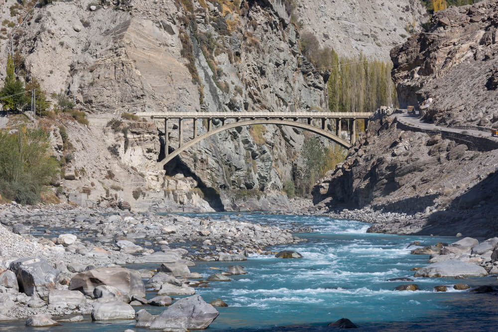
Braldu river circulate in Skardu District of Gilgit Baltistan,in Pakistan. This River meets up with the Basha Basna river and collectively forms the Shigar River, a side stream of the Indus River. The length of the Braldo river is 78 km which begins from Baltoro Glacier and moves 25 km to the West, where the Biafo glaciers feed this River. In the Skardu district of Baltistan, the Braldo river entirely flows towards the East and forms the Braldo valley. The village of Askole is settled in the valley, located on the right bank of the Braldo River. The River makes its way through different towns like Korphe, Shamang, Barjand, Kharwa, Niyil, and Tingstin. Braldu river joins the Basha Basna river 5 km before Tingstun to constitute the Shigar river at the end of the Braldo valley. Many glacial streams and tributaries join and nourish the Braldu river in the Braldu Valley. The water of the Braldu River is considered White Water. Kayaking can be practiced on this River from June to August (the Summer season).
Chenab River
Chenab river is one of the most significant rivers that flow in Pakistan and India and is also among the top five rivers of Pakistan. Chandra and Bhaga arise in the upper Himalayas; India is two water heads that unite to form the Chenab river. Through the region of Jammu and Kashmir, India, the Chenab river flows into the plains of Punjab, Pakistan, before finally joining the Indus River. The River passes through the Chamba District in Himachal Pradesh before reaching the Jammu division of Jammu and Kashmir, from where it moves through the Doda, Kishtwar, Ramban, Reasi, and Jammu Districts. It comes to Pakistan and moves through the Province of Punjab before evacuating into the Sutlej, forming the Panjand river. Pakistan was assigned Chenab water under Indus Water Treaty. For irrigation purposes, the water of the Chenab river is widely used. The Chenab river’s water is carried to the Ravi River’s channels through link canals and tributaries. Chenab river is vital as four major headworks are built on it in Pakistan. The detail of the four headworks is below.
1. Marala Headwork, located near Sialkot
2. Khanki Headwork, located in Gujranwala District
3. Qadirabad Headwork, located in Mandi Bahauddin District
4. Trimmu Barrage, located in Jhang
Dasht River
This Dasht river exists in the Makran and District of Gwadar region, in the southwestern part of Balochistan province, Pakistan, which clears out near Jiwani. Dasht river has tributaries in its surroundings, Kech river flowing through Kech valley is on the eastern side of this Dasht river, and the Nihing River is on its West. It flows East from the Iran-Pakistan border before clearing at Mirani dam. At this point, both rivers meet to form the Dasht river. Across the Dasht river in the Central Makran Range, Mirani Dam is situated.
Dras River
Dras river is located in the District of Kargil, in the Indian union territory of Ladakh. It begins under the Zoji La pass in the outstanding Himalayan range and moves northeast toward Kargil, where it meets up with the Suru River. The length of the Dras river is 86 km and flows entirely in the Dras valley. Machoi glaciers near Zojilla Pass, East of Srinagar, and East of Sonamarg, are sources of the Dras river. Many glacial streams nourish the Dras river moving northeast; National Highway joining Srinagar with Ladakh runs parallel to the River. Two streams, the Mashko Nala and the Gamru Nala join the Dras river at the Dras valley. Dras river and Shingo river join at Latoo near Kaksar, where the flow of water doubles. Dras river bank is the coldest place for inhabitants to live after Siberia. The water flow of River Dras increases during late summer due melting of heavy glaciers.
Ghakkar River
Ghakkar was a River Sutlej tributary in Pre Harrapan times and still joined to Sutlej paleochannel. About 8000-10,000 years ago, river Sutlej changed its way, leaving Ghakkar Hakra as a monsoon system that nourishes the rivers that deplete the Thar desert. This River exists in the village of Dagshai in the Shivalik hill of Himachal Pradesh with an altitude of 1927 meters above sea level and moves toward the state of Punjab and Haryana into Rajasthan.
Hakra River
Hakra river is located in Pakistan near Fort Abbas, basically a dehydrated stream of a river that carries on the Ghakkar river in India. Hakra river is linked to Sutlej and Yumna Paleochannel, which ends in the Nara River. About 8000-10,000 years ago, river Sutlej changed its way, leaving Ghakkar Hakra as a system that monsoon nourishes River that depleted the Thar desert.
Gilgit River
The Gilgit river is an Indus river stream and moves on through the Gupis -Yasin, Ghizer, and Gilgit Districts of Gilgit Baltistan. Shandur Lake is the beginning point of the Gilgit river, and it meets the Indus river near the town of Juglot and Bunji, where three mountain ranges, the Hindu kush, Himalaya, and Karakoram range, meet. The top segments of the Gilgit rivers are the Gupis and Ghizer rivers.
Gomal River
This River is located in Afghanistan and Pakistan, spanning 400 Km. It moves towards the northern part of Afghanistan’s Paktika province. Over 20 miles south of Dera Ismail Khan, this River joins the Indus river. Sources of the Gomal river exist in the northern side of Paktika province, southeast of Ghazni province. The head of the Gomal river’s main branch appears above Babakarkol fort in Katawaz. Another component of the Gomal river,” Second Gomal,” meets the primary stream approximately 14 miles below its source. Before entering Khyber Pakhtunkhwa, the Pakistan Gomal river moves southeast through eastern Ghilji country. Gomal river constitutes a boundary between South Waziristan and Balochistan in Pakistan. It merged with the Zhob river; its mainstream is near Kajuri Kach, approx.110 miles from its source. Gomal water is used for cultivation in the Gomal valley through the Zam system (Rod Kohi). Twenty miles South of Dera Ismail khan, this River meets the Indus River. At the place of Khajuri Kach in 1898, Gomal Zam Dam was envisioned to be constructed; even after Governmental permission from Pakistan in 1963, the work progress on Gomal Zam Dam was terminated in 1965, not proceed till 2001 during the rule of General Pervez Musharraf. Still, ultimately it was resumed and Inaugurated in 2013.
Haro River
Haro river flows through Khyber Pakhtunkhwa and part of Punjab. The Central Valley of this River is in Abbottabad District, in the Hazara district of Khyber Pakhtunkhwa province. Two twin cities, Islamabad and Rawalpindi, get their drinking water from the Khanpur Dam constructed on the Haro river in the Haripur district of Hazara Division. At the southern end of Dunga Gali, the Haro river has two branches. The branch on the east side of the River is known as Dhund, and the western is known as Karral. Haro river meets Rawalpindi district near Bhallan and then reaches Attock District.
Hingol River
In the Gwadar district of southeastern Balochistan province, this Hingol river exists in the region of Makran. There is a Hingol National park around the Hingol river and valley. The longest River in Balochistan is the Hingol river, with a length of 350 miles ( 560 km). This River moves for the whole year, unlike other tributaries in Balochistan, which only flow during little rain.
Hub River
In the province of Balochistan, this Hub river exists in Hub District. The starting point of this Hub river is from Pab Range in southeastern Balochistan and moves along the Sindh border, gets to Hub, and then falls into the Arabian sea. The length of this Hub river is 134 km. Hub river appears from mountain ranges near Zahri village of Jhalawan, and it moves along the Sindh and Lasbela border for 60 miles and is finished at the Arabian sea near Ras Monzi. This River was named Aarabes by Greek Historians, Arabti was the name of the eastern side, and the western side of the Hub river was called Orieti. The River’s water level remains 8 inches after September.
Hunza River
The foremost River in Hunza, Gilgit Baltistan, is the Hunza river. Chapursan and Khunjerab Nalas nourish glaciers that collectively form the Hunza River. Before this River meets up with the Indus river, it joins the Gilgit River and Naltar River. Flowing from north to South, this River cut the Karakoram range. The Karakoram Highway moves along the Hunza River valley, shifting to the Khunjerab river valley at the junction point, finally reaching the Khunjerab Pass at the border with China Xinjiang. On this River, a dam is built for part of the route. Disasater of the Attabad landslide in 2010 entirely diminished Hunza valley, so now a new Lake under the name of “Attabad Lake” or “Gojal Lake ” was made as Hunza river back up. The length of this lake is 30 km, rising to a depth of 400 feet.
Hushe River
This Hushe river originates basically from the Gondogoro glaciers. It is a side stream to the Shyok river, a tributary to the Indus river. Gondogoro glaciers are the primary source of the Hushe River. Some other glaciers also melt and forms stream that nourishes the Hushe River. Before merging with the Shyok river, the Hushe river meets with the Saltoro river at Haldi village.
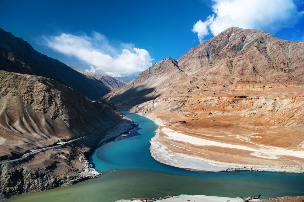
Indus River (The Most Extensive River in Pakistan)
This longest River begins in western Tibet, move northwest towards the disputed area of Kashmir, curves sharply to the left after the Nanga Parbat mountain mass, and flows south towards Pakistan before entering the Arabian Sea near the port city of Karachi. Its length is 3120 kilometers. The sewerage area of the Indus river exceeds 1,165000 km2, and approx annual flow is about 243 km3. The stream at the left bank of the Indus river in Ladakh is the Zanskar river, and its left bank stream in the plains is the Panjnad river which is formed by the junction of five rivers of Punjab, River Ravi, River Chenab, River Sutlej, River Beas, and River Jhelum. On the right bank side of the Indus river, stream of Gilgit, Shyok, Gomal, and Kurram river exists. The Indus river plays a vital role in the economy of Pakistan, as all River that helps crop cultivation in Pakistan flow in the Indus river. This Indus river also helps stabilize industries by providing Pakistan’s main Potable water supply. The Northern Part of the Indus Valley, along with its streams, makes the Punjab state of South Asia, whereas the lower course of the River finishes in a massive Basin in the southern Sindh province of Pakistan. Indus River is one of the rivers which reveals tidal bore. The flow of water is governed by season; it reduces in winter due to snow and glacier as they are the only source of nourishment for rivers, and floods the bank in the monsoon season (July to September) due to heavy rainfall. The Indus river Dolphin, Platanista Indicus Minor, is only found in the Indus river. Indus river also has a vast range of fish; approx more than 180 fish species exist in the Indus River.
Jhelum River
This River is located in northern India on Subcontinent. Verinag is a point from this where this River originates and moves through the Indian-administered state of Jammu and Kashmir to the Pakistani-administered state of Azad Kashmir and then to the province of Punjab, Pakistan. River Jhelum is a stream of the Chenab river with a length of 725 km. River Jhelum is joined by its streams: the Lidder, Vashaw, Sind, and Pohru. Before coming to Pakistan-administered Kashmir, it flows through Srinagar and Wular Lake through a small ravine. The enormous stream of the Jhelum river is the Neelum river which merges at Domel Muzzafarabad and then meets another largest on the River of Kunhar at Kaghan valley. It integrates with the Poonch river and moves towards Mangla Dam reserves in the district of Mirpur. Jhelum District is a point where River Jhelum enters Pakistan. It provides water to the plains of Pakistan’s Punjab and makes a boundary between Jech and Sindh Sagar Doab. The junction of the Chenab river and Trimmu in the Jhang district is the ending point of the Jhelum river.
Kabul River
This River Kabul appears in the Sanghlak range of Hindukush mountain in the northeastern Wardak province, Afghanistan. It is set apart from the watershed of the Helmand river by the Unai Pass. Near Attock, Pakistan, the Kabul river is vacant into the Indus river. East Afghanistan and Khyber Pakhtunkhwa have one significant River, the Kabul river. The length of the Kabul river is 700 km, moving through the cities of Kabul and Jalalabad in Afghanistan and making a sewerage system in eastern provinces before it moves to Khyber Pakhtunkhwa. The River moves through Charsadda, Peshawar, and Nowshera in this province. Its upper course is named Sarchashma. Kabul has tributaries: Panjshir, Logar, Surkhab, Kunar, Bara, and Swat. Kabul river is bound by many dams which were built in 20 Century. Three dams are situated in the Kabul and Nangharhar provinces of Afghanistan, covering The Suorbi Dam, which was created with the support of Germany in 1957 as a Hydroelectric source for Kabul. The Naghlu dam, which was constructed afterward by Soviet scientists in 1960, and the Darunta Dam. Another Dam, named Warsak Dam, is located in the valley of Peshawar in Pakistan, around 20 km northwest of Peshawar.
Kech River
In the region of Makran, the Kech river flows in southeastern Iran and the southwestern area of Balochistan province in southwestern Pakistan. Turbat city is situated on the Kech river. The water of the Kech river is used for crop cultivation and irrigation in its surrounding places. Kech river may cause a flood in nearby areas, affecting them badly.
Kunar River (Kunar Rud)
This River exists in eastern Afghanistan and northwestern Pakistan. Melting snow and glaciers of the Hindu Kush mountains nourish this Kunar River. This River is about 480 km in length. Kunar river is also known as Mastuj, Chitral, or Kama river. This River appears southward of Broghil Pass, in the upper part of the Chitral district of Khyber Pakhtunkhwa, close to the Afghan border. The Kunar river is a Kabul river’s streamlet, a tributary of the Indus River. Glaciers of the Hindu Kush mountains of Chitral, Khyber Pakhtunkhwa, Pakistan, form this Kunar River.
Kurrum River
This River arises from the territory of Spin Ghar in the Paktia province of Afghanistan and Kurram District of Pakistan, moves through North Waziristan and Khyber Pakhtunkhwa, making the course through the city of Bannu, and then joins the Indus River near Isa Khel. Kurram’s name is derived from the Kurram area, which passes along the valley. Snow-covered or White mountains surround the North side of this River; the Safed Koh, also named Spin Ghar by locals, constitutes a natural boundary with Afghanistan.
Lyari River
Lyari river is a mini transitory stream that moves through Karachi, Pakistan, from the northeast to the center and evacuates in the Arabian sea at the channel of Manora. Malir river and Lyari river are two rivers of Karachi, Pakistan. As it is located in Karachi, the most populated city in Pakistan, this River began to release wastewater, sewerage, and industrial pollution. Still, all this happened after 1947 when Pakistan was established, and Karachi was declared the capital city of Pakistan before it was clean water used for farming and fishing. This river is about 50 kilometers long.
Malir River
This River is also located in Karachi, Pakistan. It is a seasonal river passing through the northeast, through the mid, and then evacuating into the Arabian sea. Malir river and Lyari are two rivers of Karachi, Pakistan. The Sukhan and the Thadho are the two major streams of the Malir river. A Dam is also built on this River under the name of “Malir dam,” which restores water as a reserve for seasonal droughts, works as a barrier for floods, and regulates water flow, especially in rainy seasons. This water evacuates a heavy flow to the Arabian Sea during the rainy season. On the bank side of this Malir river, an Expressway under the name of “Malir Expressway” is under construction, joining posh areas of Karachi but is contentious and disputable because it may harm the forest, marine species, and poor people’s life.
Mula River
This River exists in Balochistan, Pakistan, at an altitude of 45 meters above sea level. The Dam of Naulong is under construction on this River at Jhal Magsi. The land around the River is very fertile, and farmers use it for growing wheat crops in winter around the River.
Neelum River (Kishanganga River)
This Neelam river, or Kishanganga river, is located in a region of Kashmir in Pakistan and India. The beginning point of this River is from north of Indian Jammu and Kashmir, passes through the Neelam District of Pakistan Azad Kashmir, and then unites with the Jhelum river near Muzaffarabad city. Its total length is 245 Km. A million fishes exist in this Neelum river as it runs along the Line of control. Hence, people migrate to safer places due to the Kashmir conflict cause, because of which the River is less populated and the environment is perfect for fish growth. This River was traditionally named as Kishanganga river and is still known by the same name in India. It was renamed the Neelum River in Pakistan in the year 1956, after the partition of India in 1947. Krishansar lake is where Kishanganga arises, in the Indian union domain of Jammu and Kashmir, and it flows towards Tulail valley (northward), located in Badoab village. It flows westward, parallel to the Line of Control, Kashmir. Many glacial streams nourish this River on the way. It reaches Pakistan governing Azad Kashmir state, in the Gurez sector of the Line of Control, then moves west parallel to the Sharada Line of control. It angles to a Southwesterly direction and moves along the Line of control near Tithwal; it angles northwest forming a broad arc to meet the Jhelum river in Muzaffarabad.
Panjkora River
This River is located northwest of Pakistan, in the province of Khyber Pakhtunkhwa. This River passes through the mountainous northern part of the province and finally makes Kumrat Valley. It moves from Dir, Timergara, and merges at Chakdara with the Swat River. Major streamlet of Panjkora rivers Barawal, Dir, Kohistan, and Usherai. The water level is very high due to the monsoon season( June – September), which can also cause floods. This Panjkora river is situated at coordinates ( Latitude 34.6667, Longitude 71.7667). The soil of this River is very fertile and used for farming and cultivation. River Panjkora is the natural home for trout and other fishes. Cyprinids and Snow trout are common species available in the upper course of this River in Kumrat valley.
Panjnad River
In the Bahawalpur district of Punjab, there is a river called Panjnad. The word Panjnad means ” Five Rivers.” This River is formed by combining the Five rivers of Punjab, Ravi, Chenab, Beas, and Sutlej. Jhelum river and River Ravi meet with River Chenab, River Beas merges with Sutlej river, and then Sutlej and Chenab merge to form Panjnad, which is 10 miles North of Uch Sharif in the district of Muzaffar Garh. At the point of Mithankot, this combined River of Panjand moves southwards for around 44 miles and meets River Indus. Then this combined River Indus keeps flowing and ultimately drains into the Arabian Sea. On the River of Panjnad, a barrage has been constructed that gives an irrigation channel to Punjab and Sindh provinces, to the South of the Sutlej river, and East of the Indus river.
Poonch River
This Poonch river is also called Punch River or Punch Tohi. It is a stream of the Jhelum river that passes through Jammu and Kashmir in India and Azad Jammu and Kashmir in Pakistan. The length of this River is 150 km. At the south side foothills of the Pir Panjal range, this River arises in Neel Kanth Gali and Jamian Gali. In this region, it is also known as Siran ( Suran). It flows initially towards the South and then west until it gets to Poonch, then it curves southwest, ultimately evacuating in Mangla Reservoir. The towns of Poonch, Sehra, Tatta Pani, Kotli, and Mirpur are located on this Poonch riverside.
Rakshan River
This River is also located in the province of Balochistan, Pakistan. This River appears at Nidoki Pass, southwest of Shireza District Washuk, Balochistan, Pakistan. It is an isolated stream in Balochistan with an altitude of 1462 meters. It exists near Sarto Kaur. In that region, it is also called the Nag River and flows southwards; this River then joins with another stream located at the West of Nag e Kalat that flows through a valley where Panjgur city is also found in its center. To the north of this River, the Siahen range and the South Zangi Lak hill moves parallel to this Rakshan river.
Ravi River
River Ravi is a cross-boundary river crossing northwest India and eastern Pakistan. River Ravi is one of five rivers of Punjab. The Indus Water Treaty of 1960 allotted Ravi water and two other rivers to India. Later on, Pakistan developed a project called the Indus Basin Project, which shifts water from the western River of the Indus system to build up the part of Ravi located in that country again. The water of River Ravi is evacuated to the Arabian sea ( Indian Ocean) through River Indus in Pakistan.
River Jindi
This River, Jindi, is also well known by the title of Kot and Manzari baba. It originates from the Malakand agency hills, in the northern district of Charsadda, in Khyber Pakhtunkhwa, Pakistan. The water supply is short every year in the early months, but the water flow increases in the summer due to rains. As the River flows downwards, people nearby use water for irrigation from Dams, so water flow decreases as water moves downwards. Khyber Pakhtunkhwa’s most fertile and extensive irrigated areas are around Kabul and the Jindi River. Still, over the last few years, this is not been happening due to environmental changes like seasonal droughts and increasing global temperatures.
Rupal River
Rupal river is also a stream fed by east-west glaciers. The melted water of the Rupal glaciers of Pakistan nourishes this River. This stream makes its way through Rupal valley, South of Nanga Parbat, before curving northeast to the village of Tarashing. The Rupal river evacuates into the Astore River, reaching the Indus finally near Jaglot.
Shigar River
This River exists in northern Pakistan, in the mountainous region of Baltistan. Baltoro Glaciers and Biafo glaciers are sources of this River’s nourishment; their water melts and enters this River. It passes through Shigar valley. This River is also a stream to the Indus river and joins the Indus in Skardu valley.
Shyok River
The Shyok river is also known as the Death river. It is a tributary of the Indus that passes through northern Ladakh and reaches Gilgit Baltistan, which stretches across 550 km. Shyok river begins from the Rimo glaciers, one of the Siachin Glaciers. The sequence of the River is very odd, starting from Rimo Glaciers; it moves in a southeasterly direction and meets the Pangong range; it takes the northwest curve, moving parallel to the previous way. Shyok valley broadens at the junction with the Nubra river but at once turns into a narrow gorge near Yagulung, continuing through Bogdang Turtuk., before crossing into Baltistan. The valley again broadens near its Saltoro River union at Ghursay. The River links the Indus at Keris, the east town of Skardu.
Soan River
Soan river is a tributary in Potohar, or the north Punjab region of Pakistan, and evacuates plenty of water from Potohar. It begins in Bun’s small village at Patriata and Murree’s foothill. Simly Dam gets water from this River, which is water accumulation for Islamabad. This River cuts a high mountain range near Soan, near Pharwala Fort. The length of the Soan river is 250 km. Two tributaries, the Korang river and the Lai stream merge in this River just before and after the Soan bridge.
Suru River
Suru is an Indus river stream that passes hugely from the Kargil district of Indian-administered Ladakh. The Suru valley exists with the Tehsil of Kargil, with Kargil town situated on its bank. The entrance point of the Skardu District of Pakistani-administered Gilgit Baltistan runs briefly before meeting the Indus at Nurla. The size of this River is 185 km, which arises from the Panzella glacier at Pensi La pass near the Drang Drung glaciers. The western and northern boundary of the Zanskar range forms the Suru River. The River moves westward along Kargil Zanskar Road from its source and creates the Suru Valley.
Sutlej River
Sutlej is the longest of the five rivers that move the historic area of Punjab in northern India and Pakistan. Another name for this River is Satadru. This River lies on the East of the Indus River. A dam built around River Sutlej also helps irrigation and facilitates the states of Rajasthan, Punjab, and Haryana. Sutlej river water is allotted to India under Indus Water Treaty between Pakistan and India. This water is primarily used in making a canal for irrigation purposes in India, such as the Sirhind canal, Bhakra main line, and Rajasthan canal.
Swat River
The Swat river is everlasting in the province of Khyber Pakhtunkhwa on its north side. The glacial valley of Hindu Kush Mountain is the primary source of this River, as their melted water feeds this River from where it then enters into charming Kalam Valley before becoming a broader Swat Valley. The water of the Swat river is used for Hydropower generation at the Jabban Hydropower and Dargai Hydropower plant.
Tawi River
Tawi river flows in the state of Jammu; the main tributary of the Chenab river at the left bank is River Tawi. This River is considered divine, blessed, and holy, as is the same with most of the rivers of India. Kailash Kund Spring at Soej hills is the primary source of the Tawi river in Bhaderwah. Passing through Chennani and Udhampur, The Tawi river flows through Jammu, meets the Chenab in Ranbir Singh Pora, and finally enters Pakistan. The capacity of the Chennai hydroelectric power project is 23 MW which is constructed on the Tawi River.
Tochi River ( Gambila River)
Tochi, also known as the Gambila river, is situated in Khost province, Afghanistan, north Waziristan, and Bannu District, northwestern Pakistan. Hill six miles south of the Spin Ghar range, the source of Kurrum river, to which it moves parallel and at last joins. It borders North Waziristan. This River has great importance for the resident of Dawar Valley as it helps rinse the vast area of land it runs through, especially that belongs to the Takhti Khel Marwats, Bakkakhel Wazirs, and Miri and Barakzai Bannuchis.
Zhob River
Zhob river exists in Balochistan and Khyber Pakhtunkhwa, Pakistan. The whole length of the Zhob river is 410 km, and it moves primarily northeasterly. The beginning point of the Zhob river is the Kan Mehtarzai range near Muslim Bagh. From the city of Zhob, it flows about 4 km West. This river water is used for irrigation in northern Balochistan along with the Gomal river.
FAQs
Which is the shortest River in Pakistan?
River Ravi is the short River among the top five rivers in Pakistan.
Which is the enormous River in Pakistan?
River Indus is the longest and largest River in Pakistan. Around two-thirds of the water used for irrigation and domestic use is provided by the Indus river and its tributaries.
Which province of Pakistan has the most rivers?
Province Punjab has most of the rivers, as Punjab is the land of five rivers. Due to more rivers in Punjab, this province has the most fertile land as it is best for agricultural purposes.
Which River is called the Father of rivers?
The Father of rivers is the Indus River, the longest and largest River with tributaries.
How many rivers flow in Pakistan?
Indus Basin Irrigation System is one of the largest irrigation systems in the world. This system comprises six main rivers: Ravi, Chenab, Sutlej, Jhelum, Kabul, and the Indus River and their tributaries.
Conclusion
Pakistan is an agricultural country, and farming and crop cultivation are part of agriculture. Rivers play an important role as the Indus river and its tributaries irrigate the whole Punjab and Sindh Plain areas. River helps Pakistan to stand economically. Dams and Barrages built on rivers also helped store water that could be used during seasonal droughts or for producing electricity. Pakistan can generate 7000 MW of Electricity from a potential of 60000 MW of Hydel power. Fishing is also a source of income that can only be possible through the presence of rivers.
Moreover, River enhances the natural beauty of Pakistan, which attract Tourists. The river bankside can be the best place for picnics or leisure time. Pakistan is blessed to have this natural beauty of Rivers, which enhances its beauty and the income of Pakistan.